The Barrington River is one of several major rivers to be born in the high altitude wetlands of Barrington Tops, the highest point of the Barrington Coast.
On this high plateau - the eroded remains…
The Barrington River is one of several major rivers to be born in the high altitude wetlands of Barrington Tops, the highest point of the Barrington Coast.
On this high plateau - the eroded remains of an ancient shield volcano - there are snow gums and cool temperate rainforests of Antarctic beech perched high above the steep valleys.
The Barrington, Manning, Gloucester and Karuah Rivers are formed on Barrington Tops and as their crystal clear waters tumble from the rugged peaks, they breathe life into the land; for this is the Barrington Coast - a place where the leaves touch the waters from the mountains to the sea.
The Barrington River is formed in the valley below Mount Barrington near Edwards Swamp. It flows eastwards for 93 kilometres and descends 1,370 metres before joining the Gloucester River at the town of Gloucester.
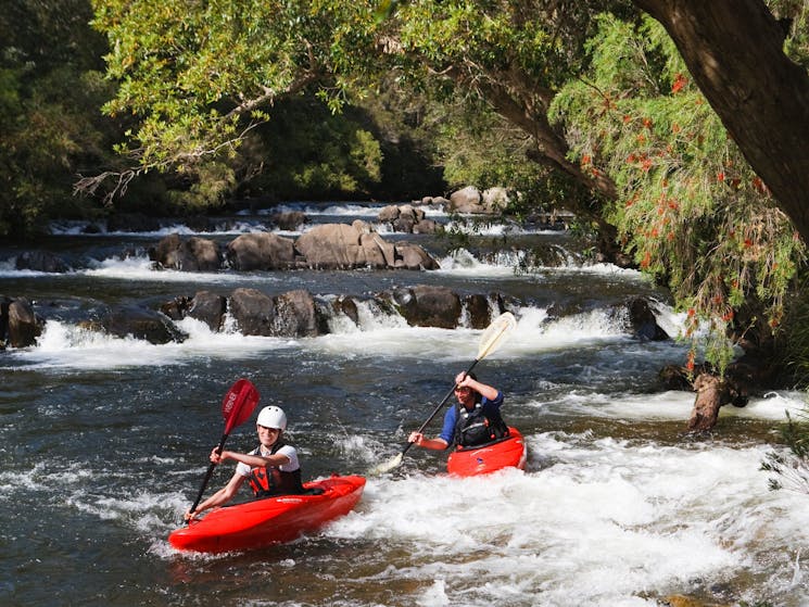
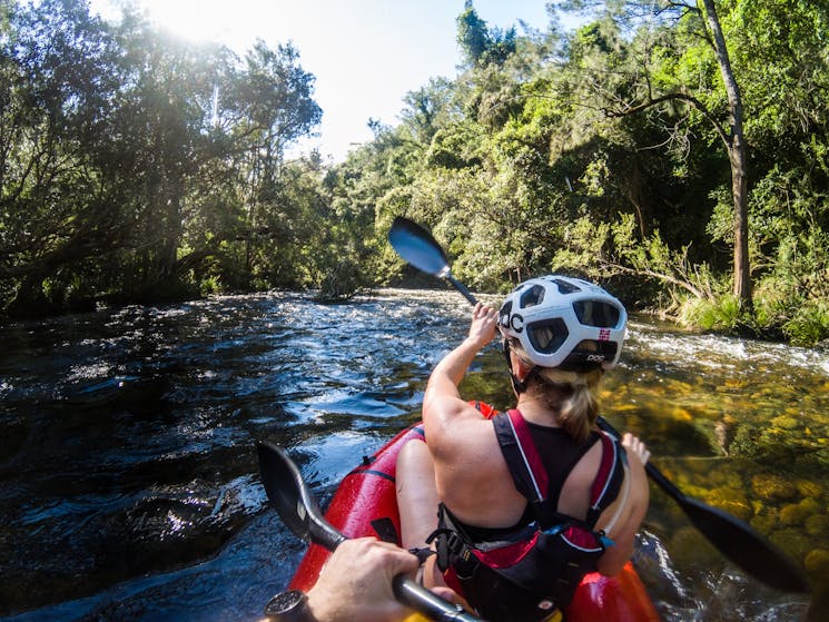
The Barrington River is renowned for its paddling and scenic beauty. It offers reliable water for canoeing and kayaking as it flows through scenic gorges, forming white water rapids in its upper section, and calm flowing pools in its lower section as it passes verdant farmland.
Pure joy as you wake to the sunrise. Awe as you make it to the snowy peak. A sense of adventure as you motor across red plains. The relief of rejuvenation as you wade into an alpine stream. Connection as you taste native, fragrant leaves. A sense of belonging as you return to your favourite holiday house. Freedom as you dash into the waves. Discover the endless feelings a visit to NSW can inspire.