Mount Gibraltar, at 863 metres, is a collapsed volcanic core composed of very hard rock called Mount Gibraltar Trachyte or micro-syenite. 150 million years ago it pushed through the Hawkesbury…
Mount Gibraltar, at 863 metres, is a collapsed volcanic core composed of very hard rock called Mount Gibraltar Trachyte or micro-syenite. 150 million years ago it pushed through the Hawkesbury Sandstone to form a high mountain now largely eroded by wind and water.
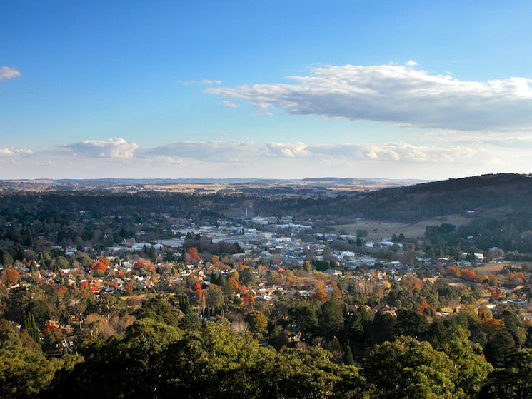
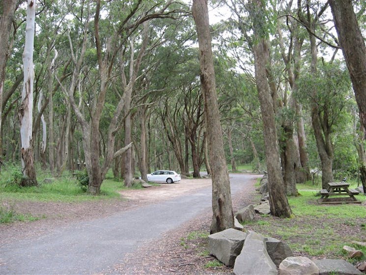
Mount Gibraltar is the highest point between the Illawarra Coast and the Great Dividing Range. It offers a range of short walks, with duration times of between 10 and 45 minutes. Numerous lookouts are accessible from Mount Gibraltar. All native plants, animals, rocks and timber are protected.
Mount Gibraltar is located in Bowral and maps are available from the Southern Highlands Welcome Centre (Information Centre), Mittagong.