







South Durras to Batemans Bay - Kayaking in the Batemans Marine Park


Highlights
- Scenic 17km paddle through Murramarang National Park's coastline
- Unique geological sights dating back over 200 million years
- Peaceful beaches with convenient picnic and toilet facilities
Overview
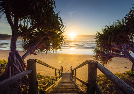
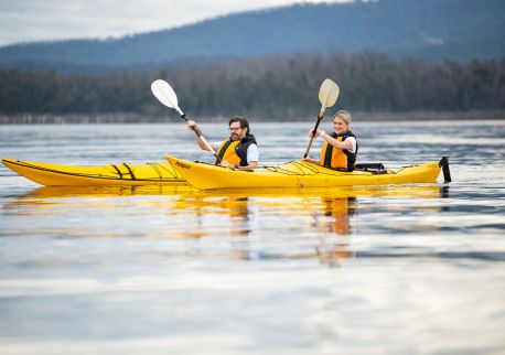
South Durras to Batemans Bay is a 17-kilometre sea kayaking route through Murramarang National Park and the Batemans Marine Park, following a quiet coastline of small beaches and rugged headlands on the New South Wales south coast.
Launch point: The boat ramp at Cookies Beach, off Banyandah Street, South Durras.
Route: Paddle past Wasp Island, where open sea conditions begin, then along the coast to Batemans Bay. For a shorter paddle, finish at Maloneys Beach.
Geology: Near Wasp Island, paddlers pass the southern end of the Sydney Sandstone Basin, formed 200 to 300 million years ago. Further on at Dark Beach, the older Wagonga Formation emerges, roughly 200 million years older than the Sydney Sandstone Basin. North of Richmond Beach, the headland features a notable upward-arching fold in the cliff face.
Safety: Most beaches face south-east and can have powerful dumping surf when a southerly swell is running. Safer landings are found once inside Batemans Bay; Richmond Beach is the easiest place to land along the route.
Facilities: Barbecue picnic areas and toilets are at Cookies Beach, Maloneys Beach, and Clyde Street Boat Ramp.
This route suits experienced sea kayakers wanting an open-coast paddle with notable geology and marine park scenery between South Durras and Batemans Bay.
Get in touch
More Like This
Location
FAQs
Accessibility
Does not cater for people with access needs.